Autosteer Accuracy

Enhance field precision and reduce input waste with GNSS guidance.

Our Services

Precision guidance tailored for Madhya Pradesh’s diverse farms.

Autosteer

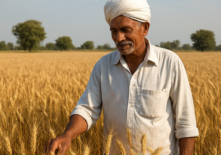
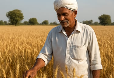
Accurate sowing and navigation for soybean, wheat, and pulses.

Abstract satellite view of mixed cropping fields with GNSS signal arcs overlay.
GPS Guidance

Precise fertilizer and pesticide placement to reduce waste.

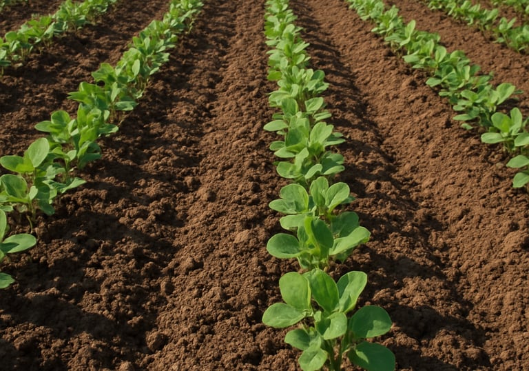
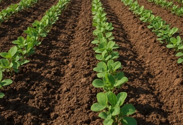
Long straight passes improve efficiency in wheat and soybean fields.

RTK Connectivity
Soft green and brown earth tone abstract field textures with geometric satellite patterns.
Contour lines and GNSS correction signals overlaid on a stylized Madhya Pradesh farmland mosaic.

Precision Farming, Perfected

We blend cutting-edge GNSS technology with Madhya Pradesh’s rich farming traditions to boost yields and cut waste.

abstract aerial view of mixed cropping fields in Madhya Pradesh with satellite signal overlays and earth-toned geometric patterns